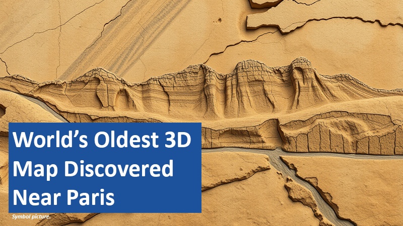
A groundbreaking archaeological discovery reveals a 13,000-year-old 3D map carved into sandstone. This prehistoric model, found near Paris, showcases rivers, valleys, and hills in miniature form. It offers unprecedented insight into the ingenuity and mental capabilities of our ancient ancestors.
By Julian James
A Map Etched in Stone

Archaeologists have unearthed what they believe to be the world’s oldest topographical map in the Ségognole 3 rock shelter near Paris. This 13,000-year-old carving depicts the surrounding landscape, including watercourses, valleys, and hills, in remarkable detail. Made by Upper Paleolithic humans, the sandstone surface was altered to mimic the flow of water, with rain runoff tracing paths that mirror real-life rivers and streams. The craftsmanship showcases early humans’ advanced understanding of geography and their ability to manipulate natural materials.
How the Map Was Created
The map was carved into the sandstone floor of the cave, a site already known for its depictions of animals and human figures. Using natural cracks and crevices as a base, the creators deepened grooves and redirected water flow to mimic the surrounding geography. Analysis revealed that the layout aligns closely with the regional terrain, including the direction of water runoff and the formation of wetlands. This type of 3D representation predates any previously known maps, making it a unique window into the priorities and worldview of ancient humans.
Functional and Mystical Significance
Unlike modern maps, which emphasize distance and travel time, this prehistoric model focuses on water flow and landforms critical for survival. The proximity of the map to a carved female figure suggests a possible symbolic or spiritual connection. Researchers speculate that this placement could represent the intertwined significance of nature and life in Paleolithic culture. Beyond practical uses, the carvings may have served as a teaching tool or a ritualistic centerpiece.
Revolutionizing Our Understanding of Early Humans
This discovery redefines what we know about the cognitive and technical abilities of Upper Paleolithic humans. It highlights their ability to interpret and reproduce complex landscapes while integrating them into their cultural and possibly spiritual frameworks. The Ségognole 3 map stands as a testament to the creativity and intelligence of our ancient ancestors.
The implications of this find extend beyond archaeology, offering a deeper appreciation of humanity’s enduring connection to nature and ingenuity.
Based on content from www.scinexx.de and own research.